01 / TOPOGRAFÍA Y OBRA CIVIL
Medir. Replantear. Avanzar.
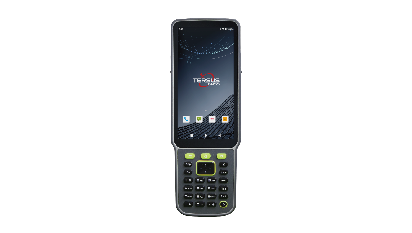
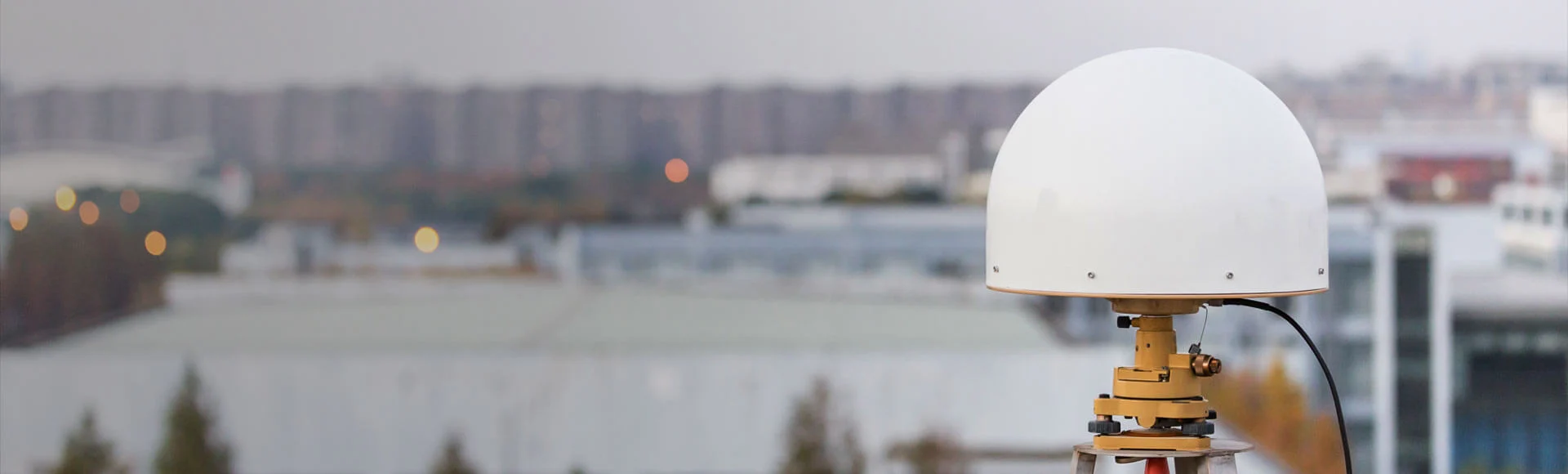
Levantamientos, replanteos y toma de datos con receptores GNSS RTK. Define tu configuración para trabajar con base propia o correcciones de red según cobertura y compatibilidad.
Explorar GNSS RTK Servicios de topografía STU